
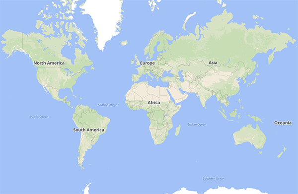
Sie haben gerade eine SmartMaps-Karte gesehen.
Die vertrauenswürdige Wahl für Unternehmen – weltweit
Die interaktive Karte, über die Sie hierher gefunden haben, wird von SmartMaps bereitgestellt – der Kartenplattform der YellowMap AG. SmartMaps ist DSGVO-konform, wird in deutschen Rechenzentren gehostet und vereint Karten, Geokodierung, Routing und viele weitere Geo-Dienste unter einer API. Ob Filialfinder, Standortkarte oder individuelle Anwendung – wenn Sie ähnliche Karten für Ihre Website oder App einsetzen möchten, sind Sie hier genau richtig.
Datenattribution für SmartMaps
OpenStreetMap Foundation
Die Grundlage unserer Karten und Dienste bilden die Daten von OpenStreetMap – einem weltweiten, gemeinschaftlich gepflegten Geodaten-Projekt. Diese offenen Daten stehen unter der Open Data Commons Open Database License (ODbL) und werden von einer engagierten Community fortlaufend aktualisiert. Entsprechend weisen wir auf allen Karten aus:
Erforderliche Attribution: © SmartMaps © OpenStreetMap contributors
Weitere Datenquellen
Mehr als OpenStreetMap
ESA WorldCover 2020
Für die Darstellung der Landbedeckung greifen wir auf das ESA-WorldCover-Projekt zurück. Diese global einheitlichen Daten werden aus den Satellitenbildern von Sentinel-1 und Sentinel-2 abgeleitet und zeichnen die Oberfläche der Erde – von Wäldern über Ackerflächen bis zu bebauten Gebieten – detailliert und konsistent nach.
Flächendeckende Terraindaten
Die Höheninformationen unserer Karten stützen sich unter anderem auf Datensätze der japanischen Raumfahrtbehörde JAXA. Konkret nutzen wir das digitale Oberflächenmodell ALOS World 3D – 30 m (AW3D30), das die Topografie der Erde mit einer Auflösung von rund 30 Metern beschreibt und so eine realistische Geländedarstellung ermöglicht.
Damit auch die Meere ein stimmiges Bild ergeben, ergänzen wir die Geländedaten um die Bathymetrie-Daten von Natural Earth. Sie geben die Tiefenverhältnisse der Ozeane wieder und lassen Küstenverläufe und Tiefseegräben naturgetreu erscheinen.
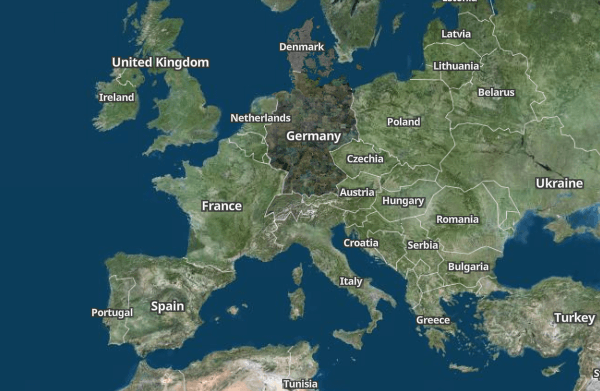
Europäische Satellitenbilder
Für die Satellitenansicht in Europa arbeiten wir mit den amtlichen Vermessungs- und Geodatendiensten der jeweiligen Länder zusammen. So stellen wir sicher, dass die Luft- und Satellitenbilder aktuell, hochauflösend und rechtssicher lizenziert sind:
Germany: © GeoBasis-DE / BKG 2024
Austria: © CC-BY 4.0 BEV - Bundesamt für Eich- und Vermessungswesen
Switzerland: © swisstopo
Denmark: © CC-BY 4.0 GeoDanmark
France: © IGN Photographies aériennes

Wetterdaten
Unsere Wetterdaten stammen aus renommierten meteorologischen Quellen – allen voran dem Deutschen Wetterdienst (DWD). Ergänzt werden sie durch führende europäische und internationale Dienste, sodass Temperatur, Wind, Niederschlag und weitere Parameter zuverlässig und großflächig verfügbar sind:
DWD: © CC-BY 4.0 Source: Deutscher Wetterdienst (DWD)
ECMWF: © CC-BY 4.0 Source: European Centre for Medium-Range Weather Forecasts (ECMWF)
Copernicus: © Copernicus Climate Change Service C3S
Open-Meteo: © CC-BY 4.0 Open-Meteo.com


Lassen Sie uns gemeinsam Ihr Kartenpotenzial entfalten
Ich bin gerne für Sie da - wie kann ich Sie unterstützen?

Christopher Schmitt
Maps-Spezialist
Tel.: +49 721 9638-125
geosolutions@yellowmap.de