

Maps API - interactive Maps for websites & apps
Integrate powerful, interactive maps into your website or app – available worldwide, with custom map styles, 3D buildings, and complete design flexibility. GDPR-compliant and completely cookie-free.
Get started for free
API documentation
Maps API for your application
Your visual compass to the world
SmartMaps is a powerful, globally available mapping platform for custom and industry-specific applications – whether that’s online, in internal systems, or in your app.
- Globally available mapping platform
- Location, business, real-time and socio-demographic data
- A wide range of map styles
- Optimised display across all devices

Experience SmartMaps live
Discover our many platform features such as worldwide autocomplete, multilingualism, the interactive globe view and the 3D representation of the terrain. Click and drag with the right mouse button to tilt and rotate the map, or drag with two fingers on mobile to adjust the perspective. In the lower right area, you can switch between different map styles.
200+
customers worldwide
€0
free plan to get started
0
cookies necessary
8+
APIs on one platform
Features of the Maps API
Custom map styles
Choose from predefined map styles or create your own custom map style. Customise colours, labels, symbols, and layers to match your corporate design.
- Light or dark mode, accessible map styles, and more
- Custom design using JSON and MapLibre Style configuration
- Multilingual support
- High resolution for Retina displays
Multilingual maps
SmartMaps' multilingual maps let you create an optimal map experience for an international audience.
- Dynamic language adaptation based on device and browser settings
- Map content in the user's preferred language
- Better understanding due to localised map content
- Significantly reduced language barriers worldwide
3D buildings and terrain
Display 3D buildings and digital terrain data for an immersive mapping experience – ideal for real estate, urban planning, tourism, and many other industries.
- Realistic 3D buildings
- High-resolution digital elevation model (DEM)
- Globe view for new map perspectives
- Flexible map pitch and rotation
High-quality map styles for every application
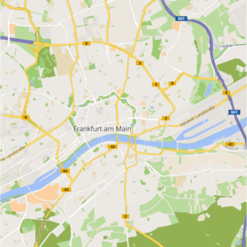
Accessible
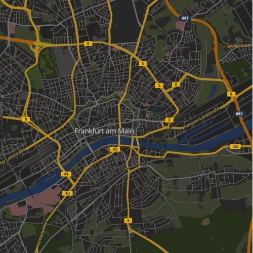
Dark
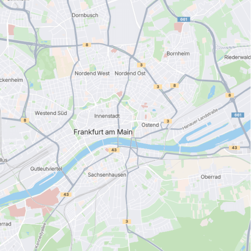
Essential
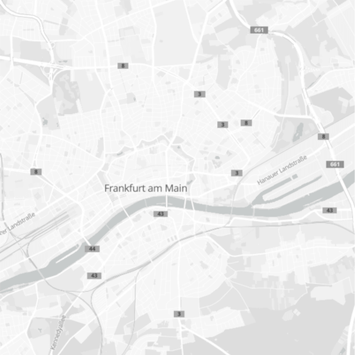
Grey
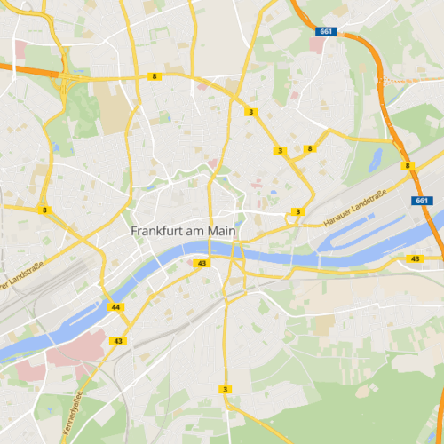
Light
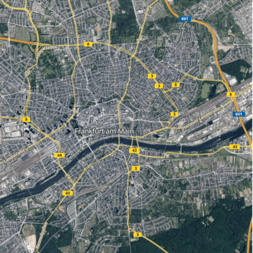
Satellite

Accessibility
To meet the requirements of the German Accessibility Strengthening Act (BFSG), SmartMaps provides accessible features for a better and more inclusive map experience.
- Dedicated map profile for people with colour vision deficiencies
- Automatic language detection and translation via the browser
- Reduced language barriers
- Enhanced contrast for optimal readability
Static maps
Generate static maps that are perfect for printed materials, e-mails, and non-interactive online content.
- Various formats and configurations
- Any resolution and map extent
- Markers and overlays on static maps
- High resolution with @2x/@3x – ideal for Retina displays and print

Technology & integration

SmartMaps GL JS
Our JavaScript SDK is based on MapLibre GL JS and provides high-performance mapping applications worldwide.

Framework compatible
Compatible with all major frameworks, including React, Vue, Angular, and Svelte, as well as TypeScript and plain JavaScript.

Optimised for mobile use
Features include touch gestures, pinch-to-zoom, and high-performance rendering on all devices.
Want to embed maps without coding?
Use our ready-to-use location map and embed it via iFrame – or let us develop a custom mapping solution tailored to your needs.
Frequently asked questions about the Maps API
No. SmartMaps does not set cookies or perform user tracking. Unlike other mapping platforms, you can embed maps without a cookie consent banner.
For more information about data privacy, click here.
I’m happy to help - how can I assist you?

Christopher Schmitt
Maps-Specialist
Tel.: +49 721 9638-125
geosolutions@yellowmap.de
